
22th July to 7th August 2024
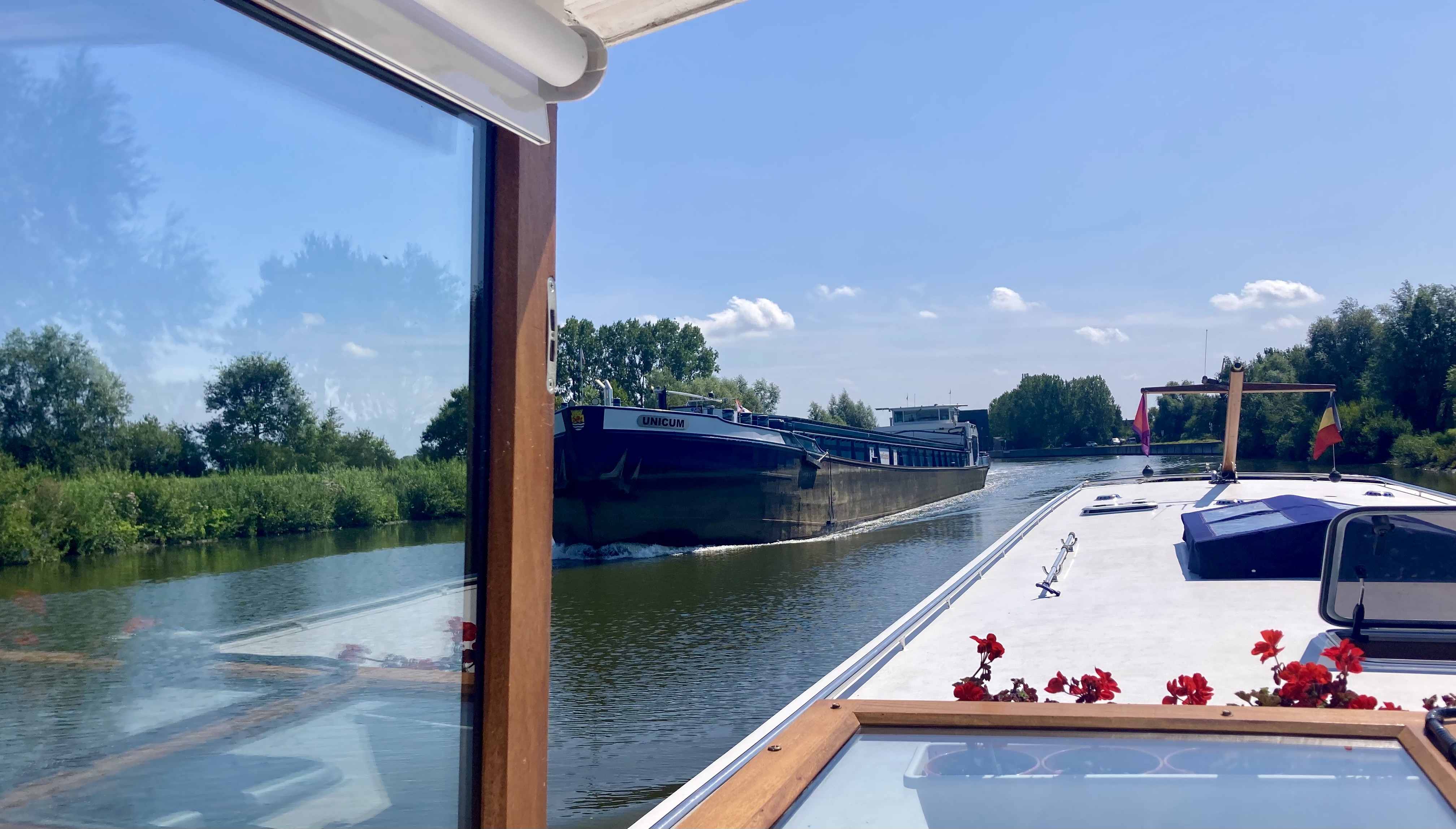
Calliope and crew proudly left Diksmuide with a newly painted hull and headed for the coast down the River Yser (Iser).
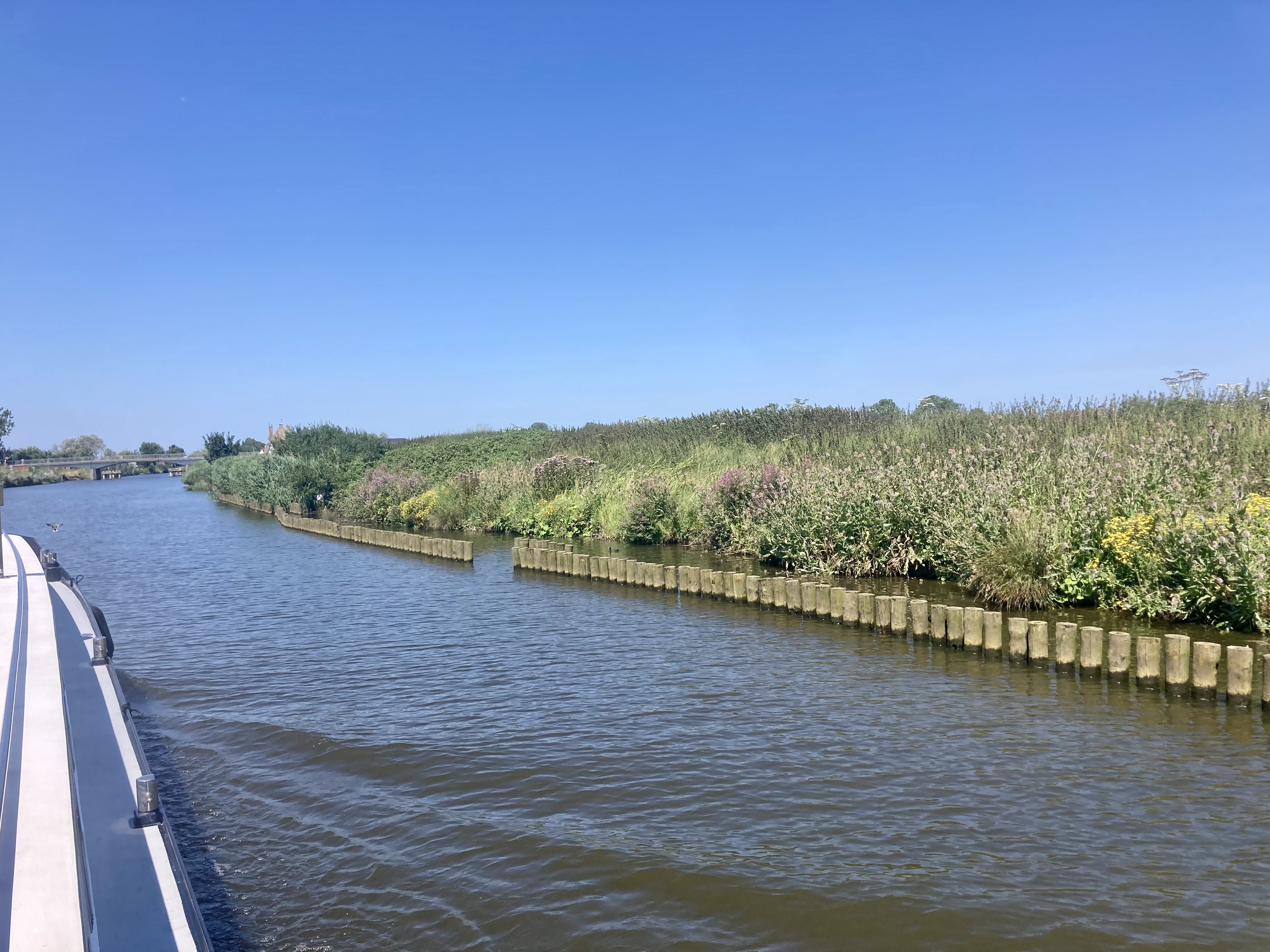
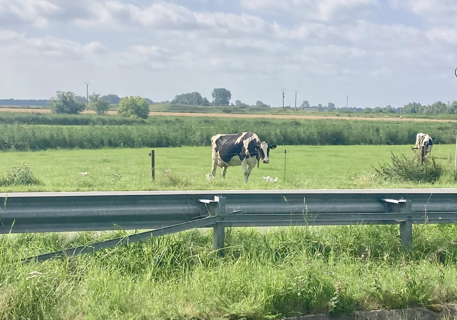
The cruise is pleasant, through wide flat plains of farmland – no locks until Sint-Joris, Nieuwpoort. Areas such as these are know as polders – areas of land, close to or below sea level and that have been reclaimed from the sea. They are protected from the sea by a series of dykes and sluices.
[At the Yser Tower Museum we learned how the flooding of the polders along the Yser River was used during during World War I. Opening the sluices at high tide and closing them at low tide turned the polders into an inaccessible swamp, which allowed the Allied armies to stop the German army.]
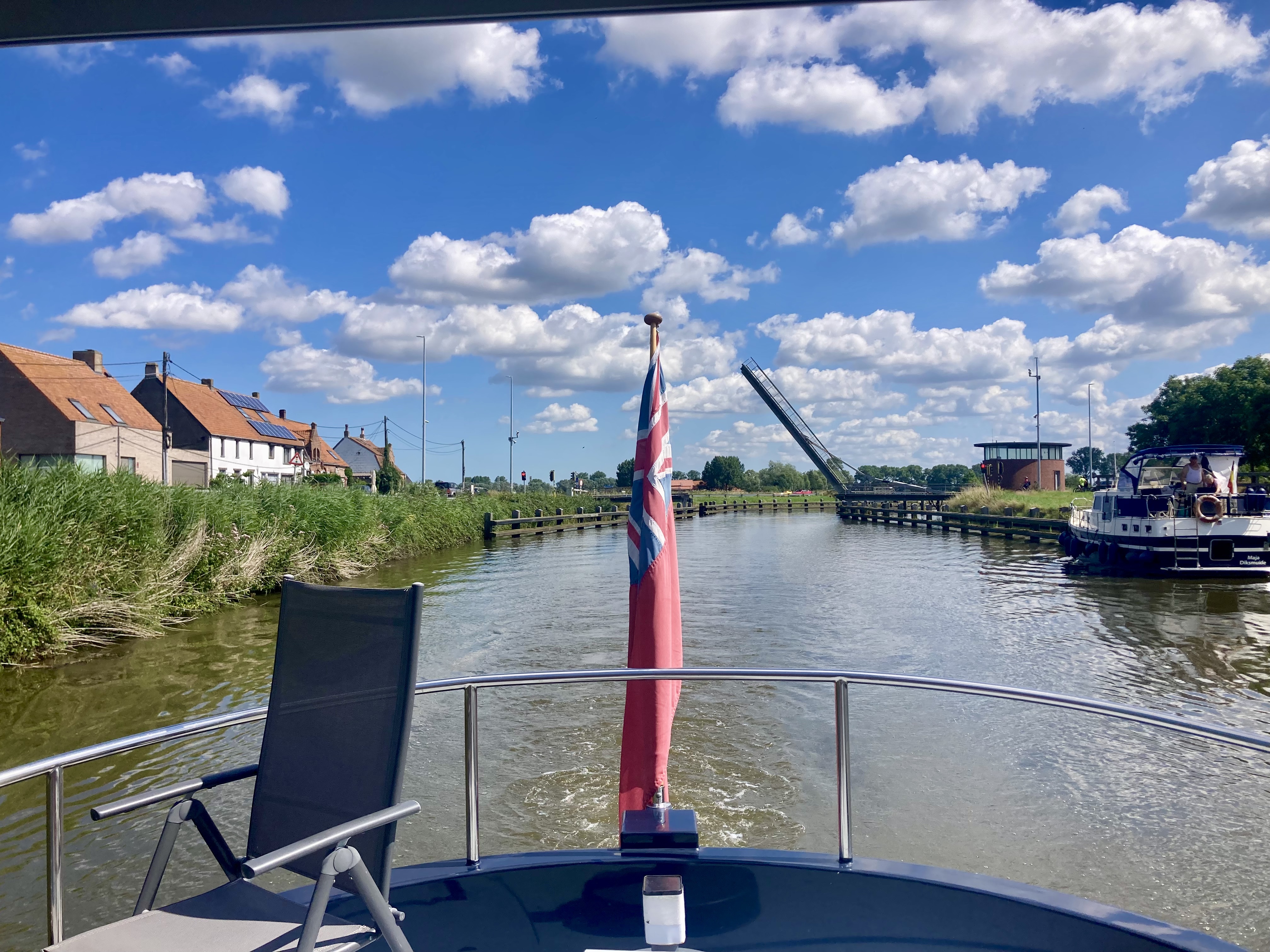
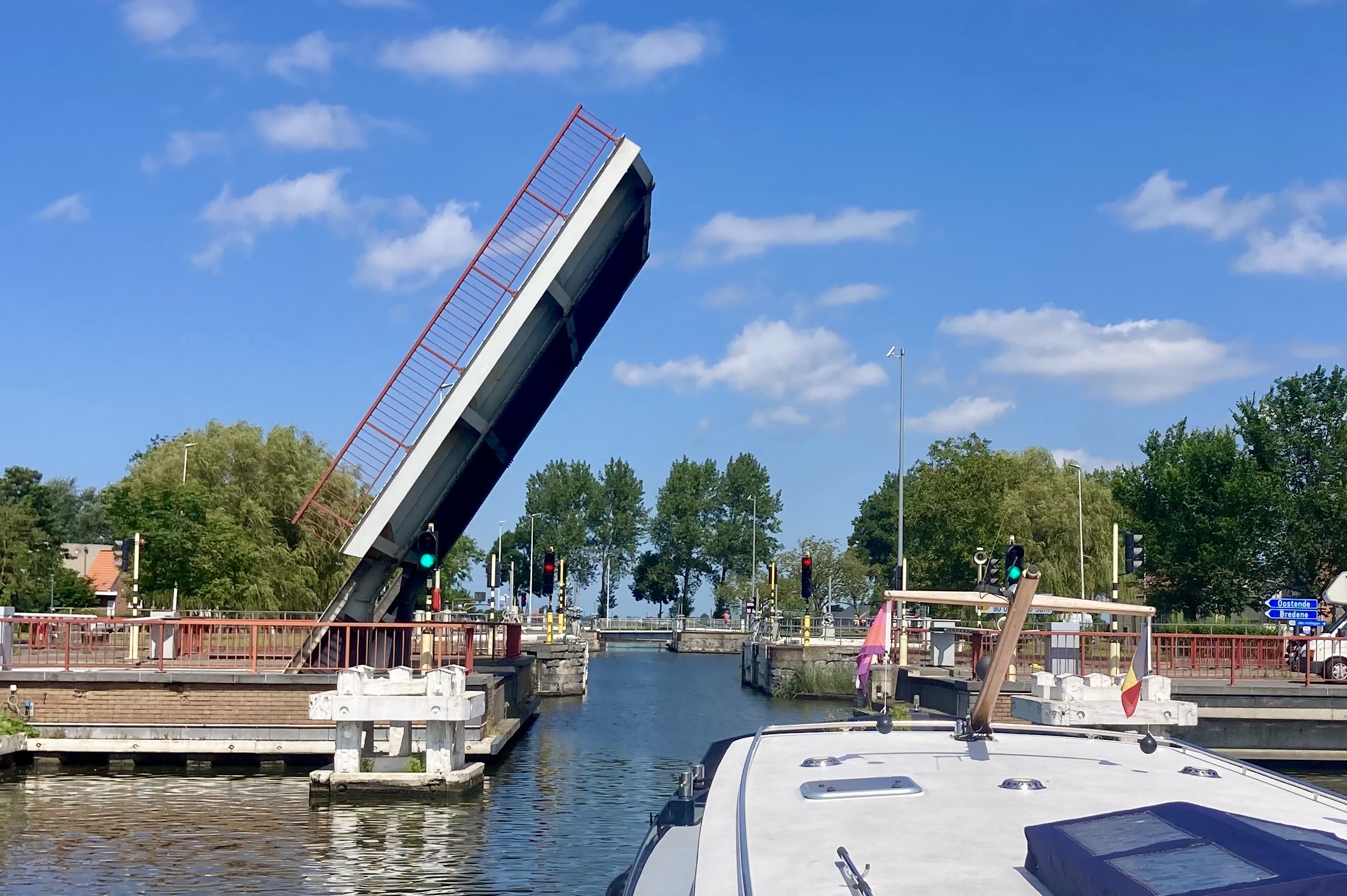
There is just one lift bridge, Tervaetebrug, to go under, and a call to the Saint Joris lock keeper sets that in motion. The bridge used to be operated from a building on the adding bank, but modern technology in the form of cameras, phones and remote control means that another job on the canals has gone. This photo os actually from us going in the other direction a few days later.
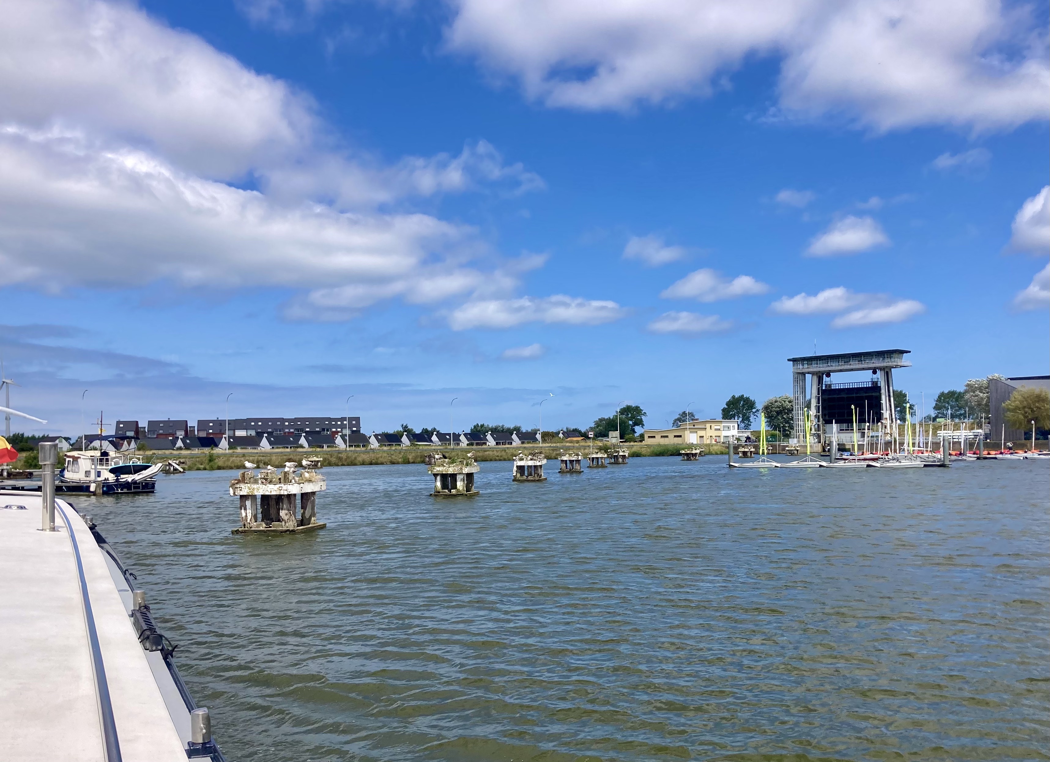
As the Yser reaches Nieupoort it opens out into a big (presumably man made) basin. Coming in at the southwest corner we make our way to the Saint Jorisa lock in the north east corner, following the channel past activity centres and a marina.
The lock has a rise/fall of only about a metre, but is still equipped with huge ‘guillotine’ style doors at each end. These allow water management during periods of flood, weather or the sea or the river.
Like the Dutch, the Belgians, with their huge areas of flat ‘sea-level’ land have learnt to manage the water levels.
Nieuwpoort
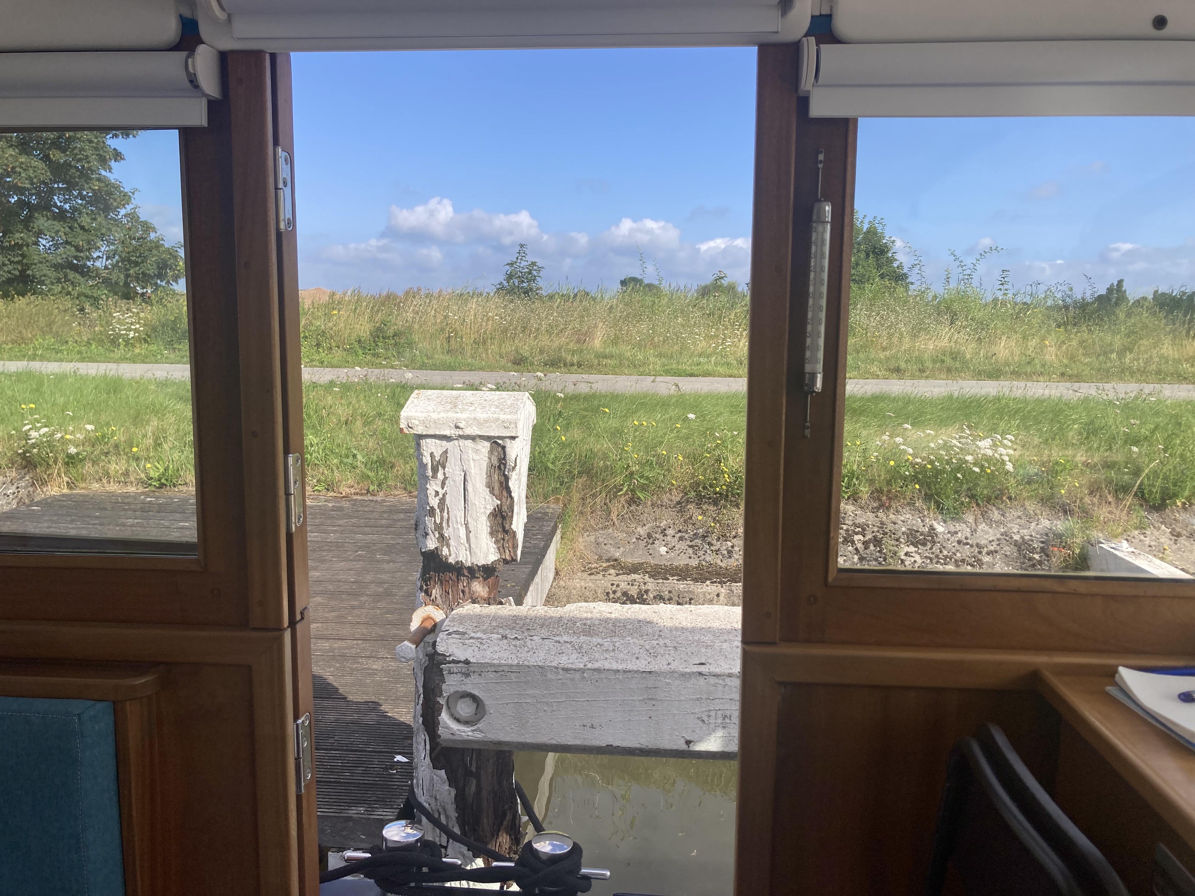
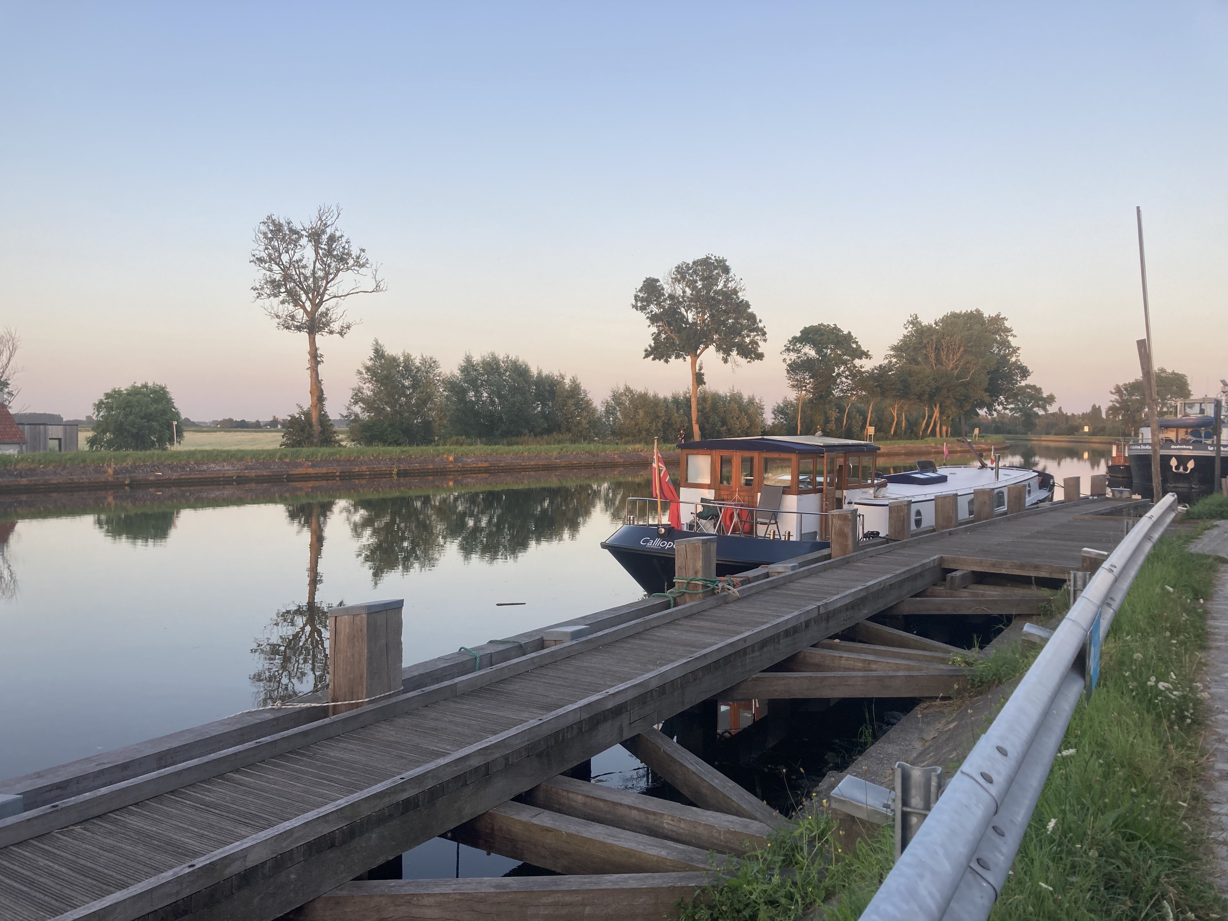
We had arranged to moor up at the Boterdijk part of the Westhoek Marina. This rather unusual mooring has no electricity or water, and the shore is only accessible easily if you can moor next to one of the 8 platforms along its c200m length.

But we love it for its general tranquility and quirkiness,
Just as well we like it because we had decided to stay here for two weeks and have a seaside holiday!
This blog is mostly about barging and boating, but I will give a quick idea of our stay on Nieuwpoort.
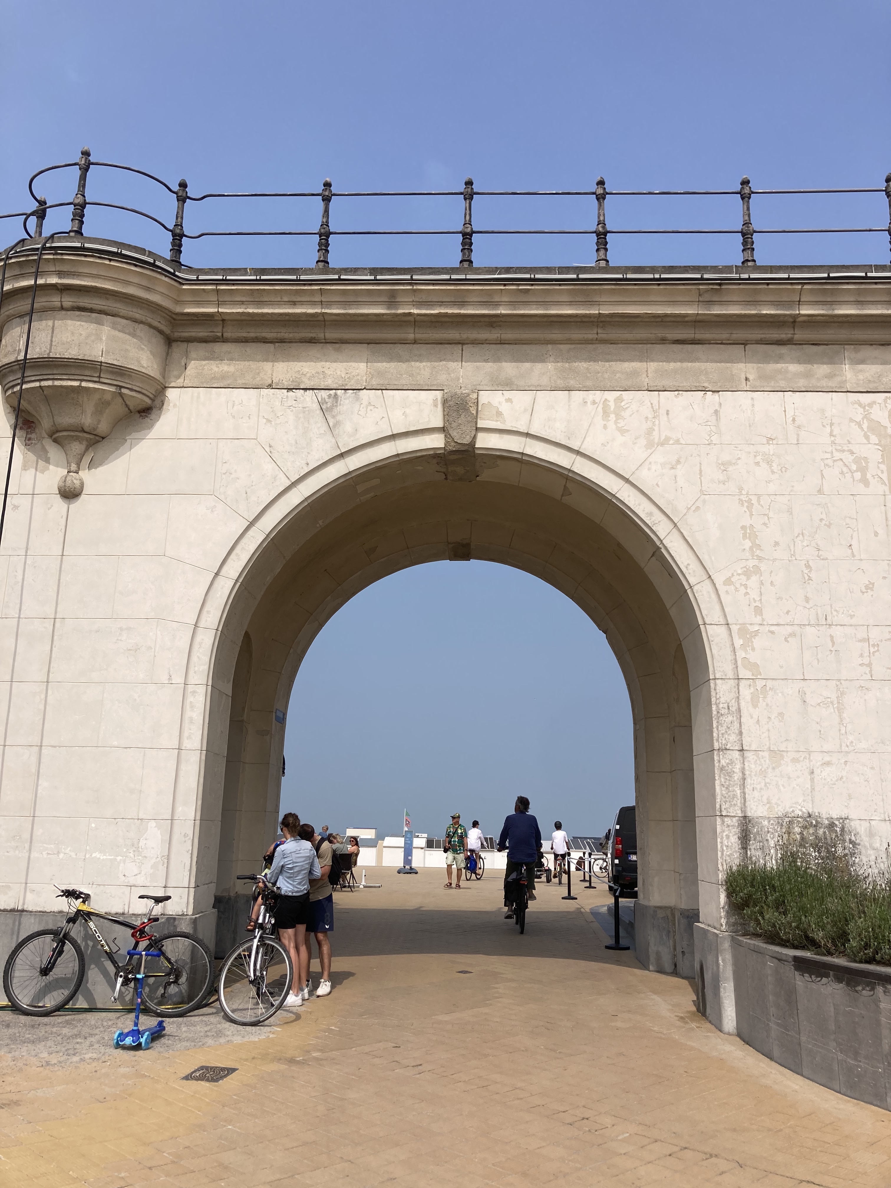
One day we went to the see the sea.
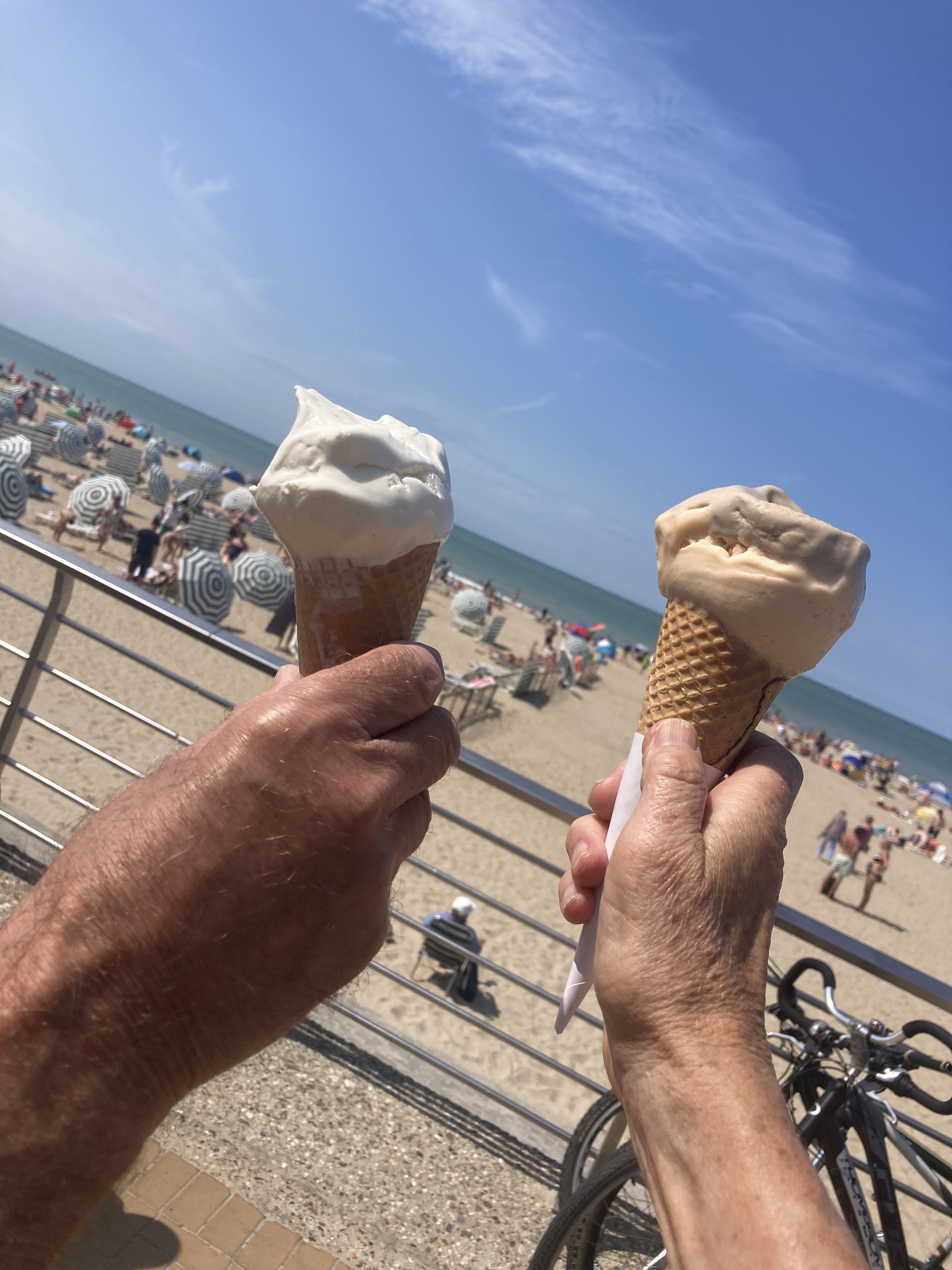
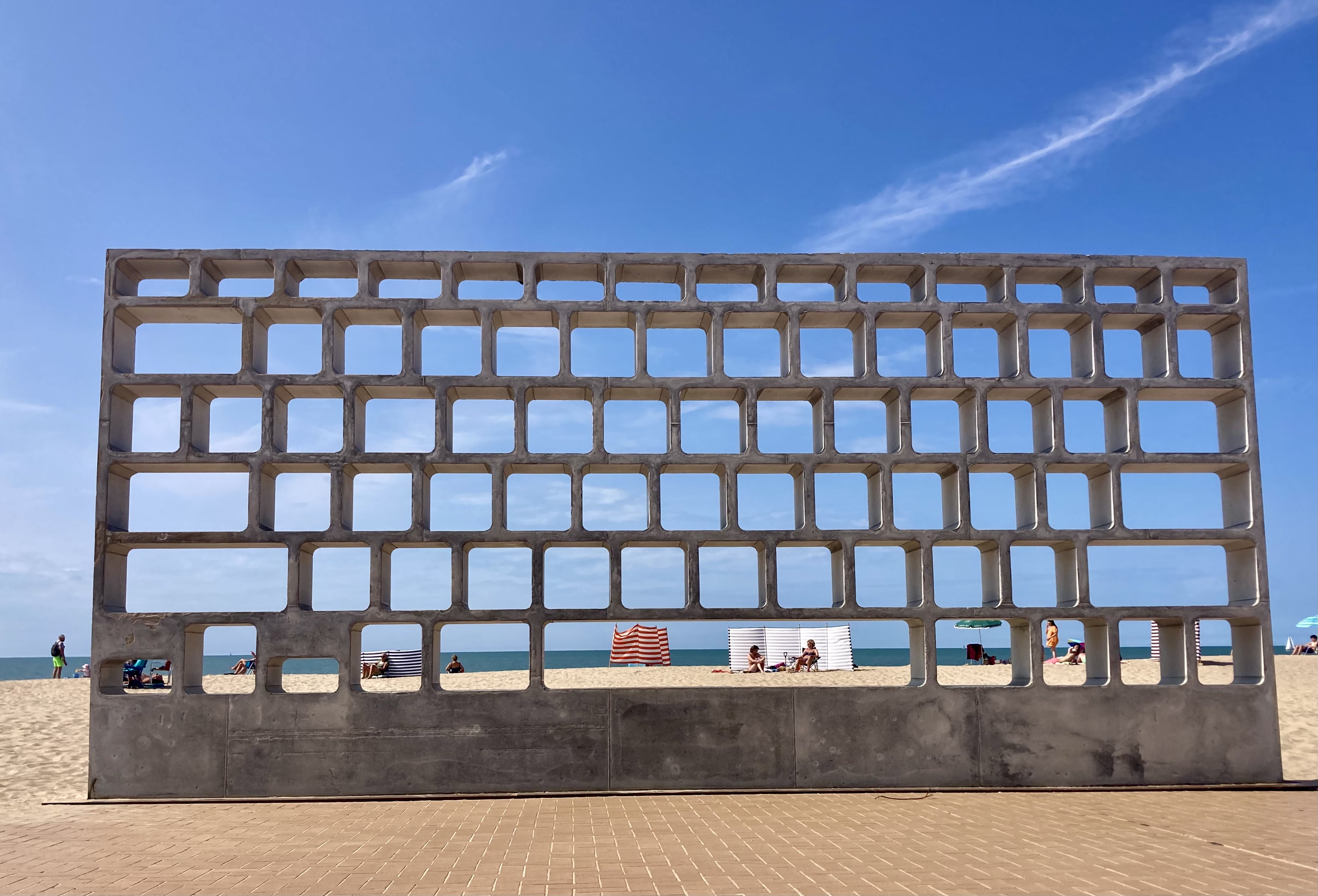

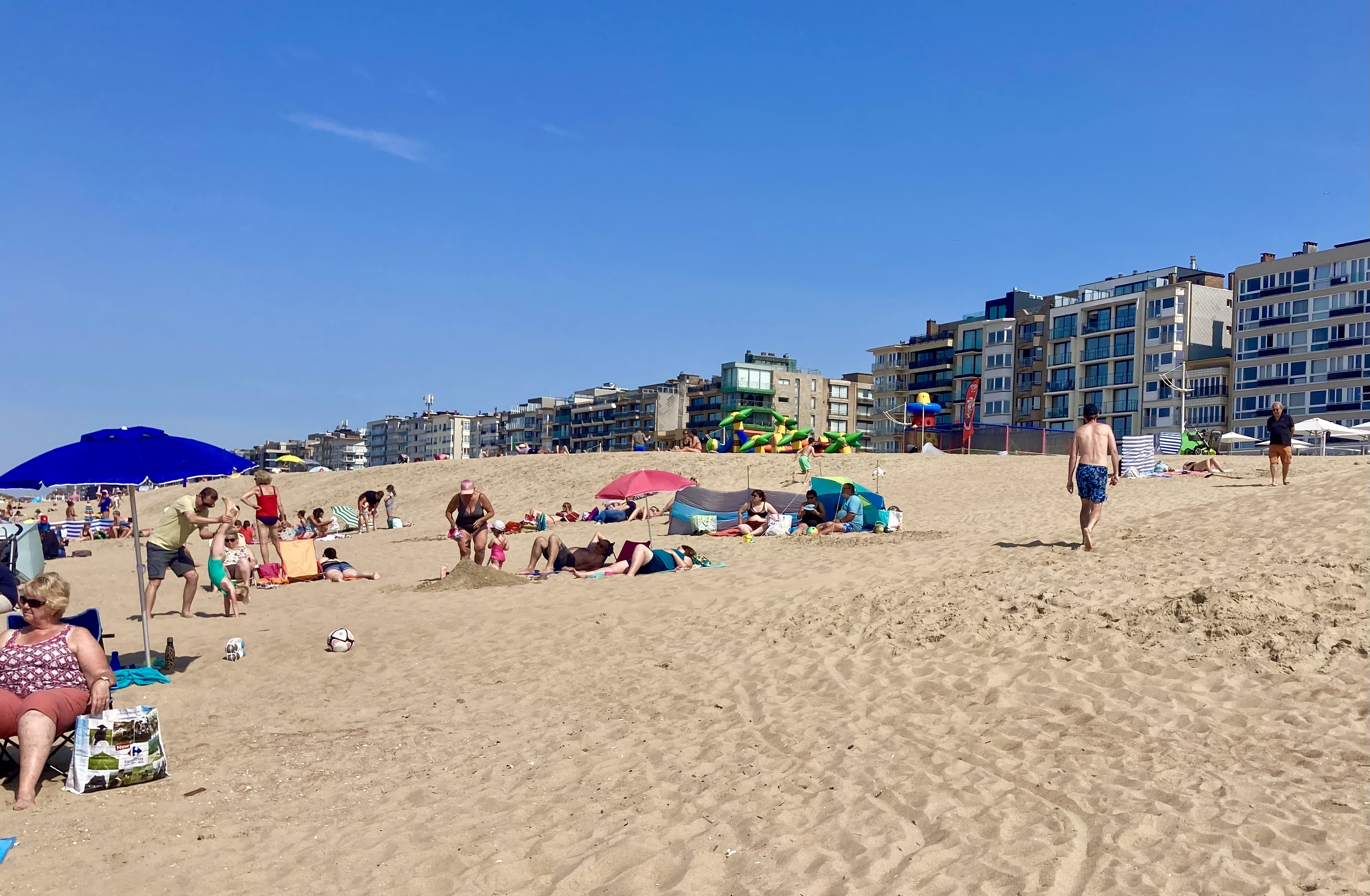
It was a beautiful day – in fact the whole two weeks had blue skies and warm, sometimes hot, sunshine. The beach is clean sand and the North Sea was warm! We also caught up with a couple of the art installations that were part of the Beaufort Triennial . The one showing here is a giant keyboard, with the buttons missing.
Another time we took the coastal tram to Ostend for a day.


Again the beach was a magnet, though no paddling this time. We enjoyed lunch in a local salad and sandwich bar, and then, the highlight of the day, went to the Japanese Garden.
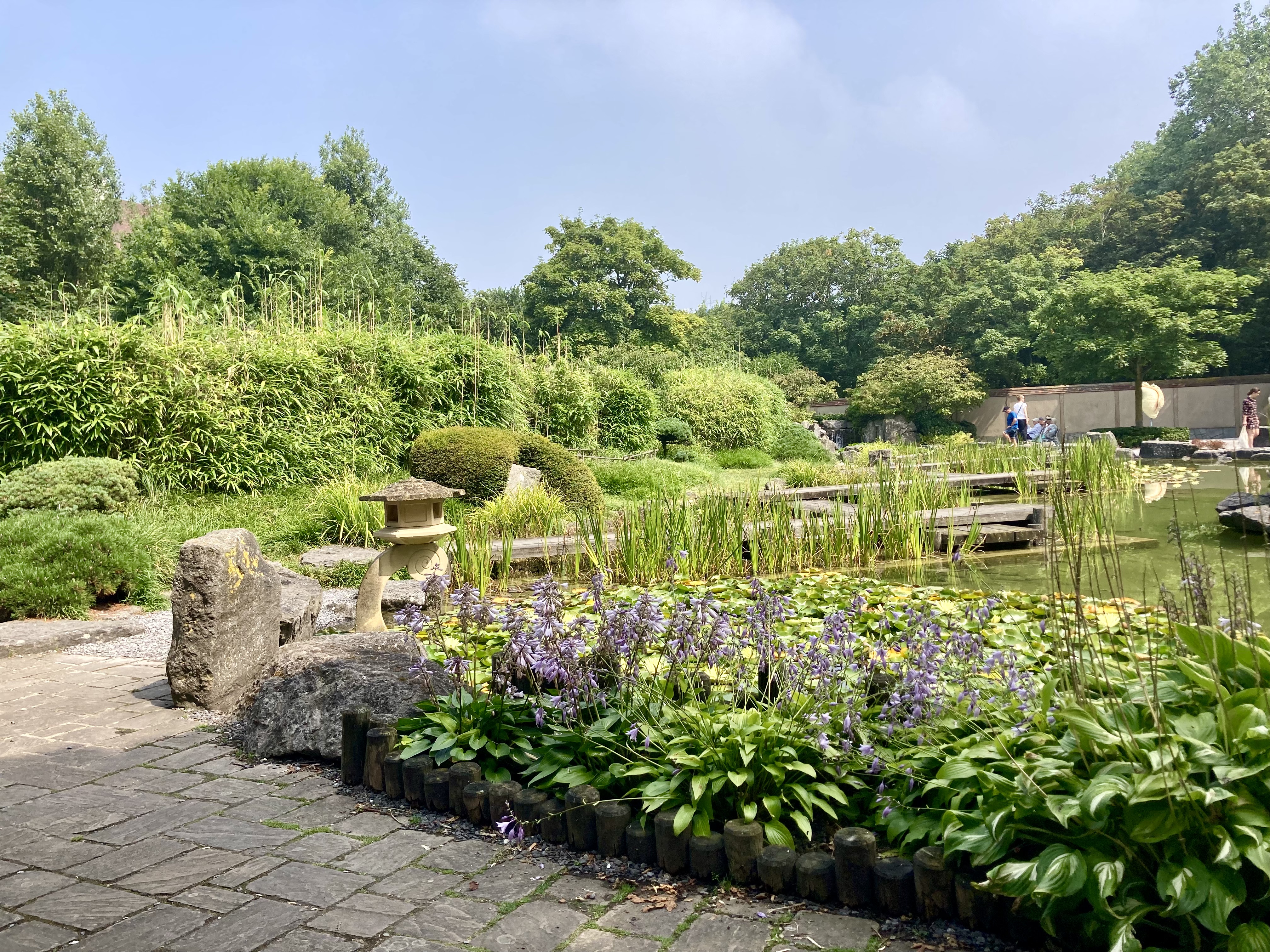
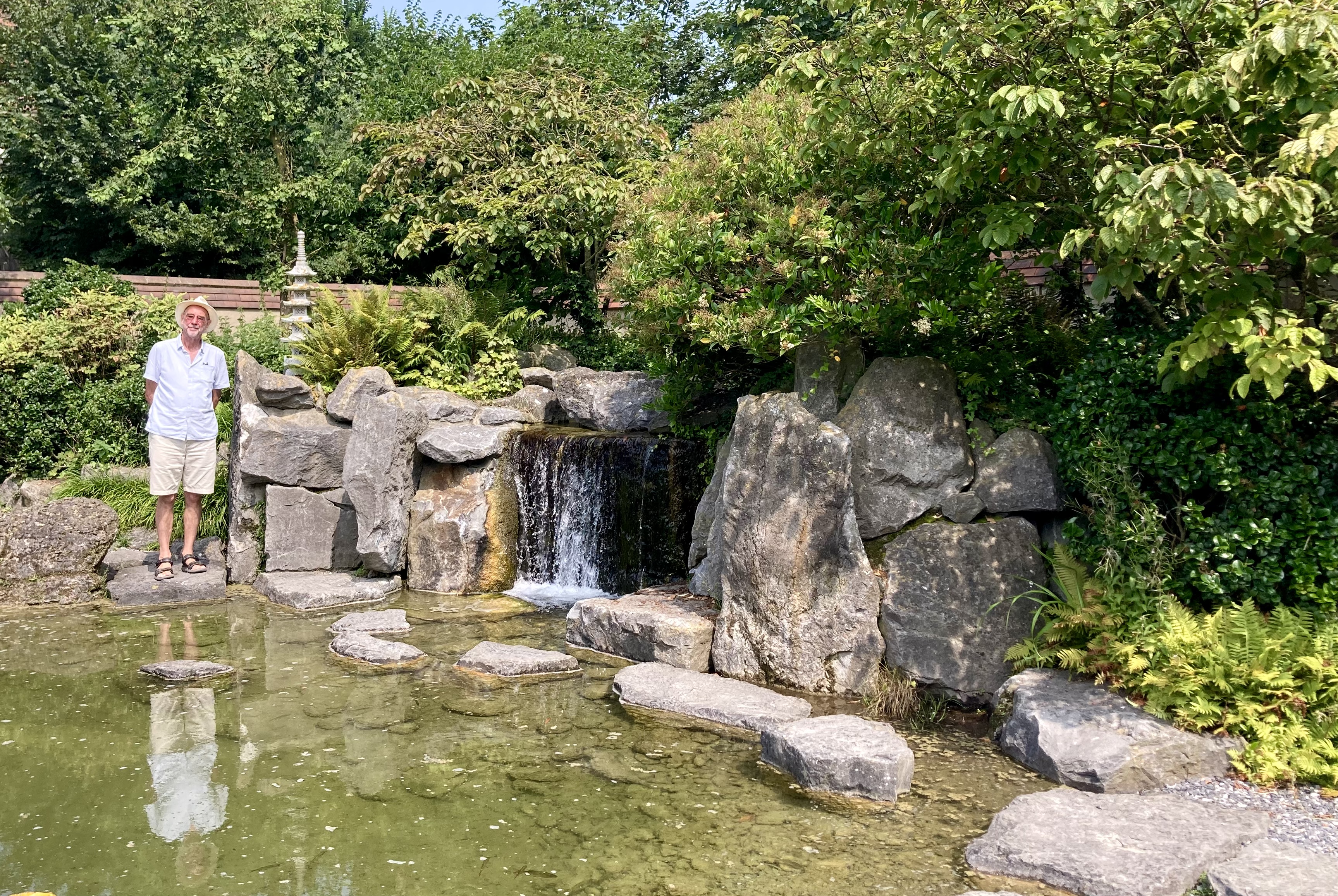


It was cool and green in there, and also had an interesting series of sculptures.
We wandered the streets of Nieuwpoort and cooled down with good Belgian beer.
We struggled a bit to get a beer on this particular day, sitting outside one bar for a while and getting no service, until I realised it didn’t open for 15 minutes – so we moved up the road to this one.
Luckily it had Stewart’s favourite Belgian beer!

Overall it’s a nice place to spend a couple of summer weeks. Although it is an unusual mooring we still could use the facilities of the main marina (a 10-15 minute walk) which include the usual rubbish disposal, water and a pump out.


It felt like the countryside, but we were close to the town. There were wide open skies, mostly blue, and glorious sunsets.

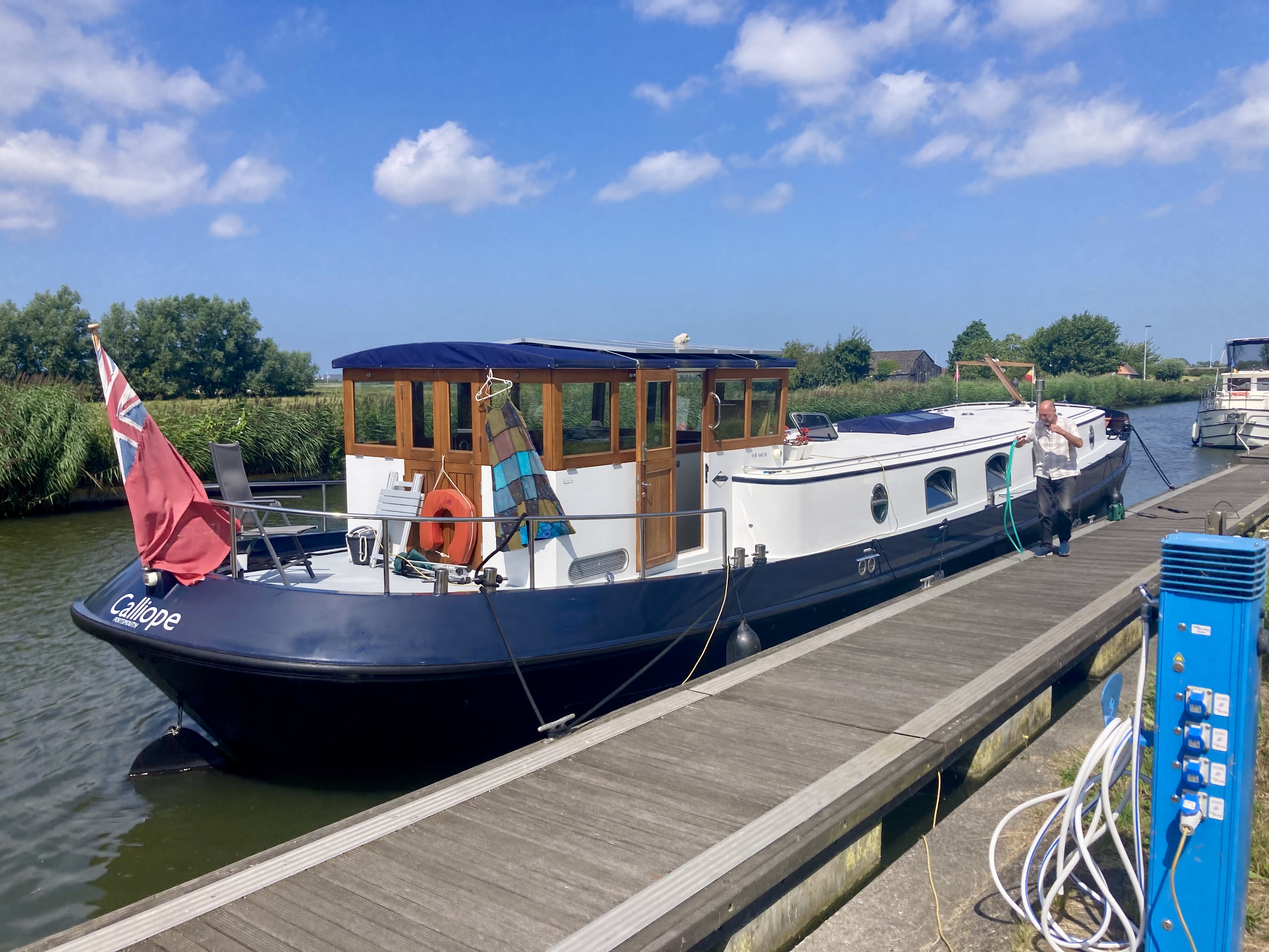
and from the other side of the canal I was able to get a decent side view shot of Calliope – something I had been trying to do for ages! Just wish we had had the mast up.
At the end of our holiday it was time to set off for Deinze where we were to meet some of our family for a few days of their holiday.
Plassendale
We had another beautiful day for our passage to Plassendale, just 20 kms away with one small, unusual shaped lock at the end. There are specific times to start off so that boats travel in convoy and bridges are only opened at certain times. We chose to go with the 11.00 group; it turned out to be a group of 1!
The journey is through the flat polder land of North East Belgium, mainly farmland with a few small villages along the way.


Each village has its own bridge. They are almost all lift bridges and once you set off at your allotted time your progress is tracked along the canal with each bridge lifting as you arrive.
We had decided to stop at Oudenburg, just 2 kms from the end, for lunch and to take advantage of the water and electricity points there. I could put on the washing machine, using electricity and water, while we had lunch and then we could top out fresh water tank up as well before we left.
Obviously I had hand-washed my patchwork dress earlier!

Payment for the water and electricity at Oudenburg is an interesting modern method.
You download the AanUit app and follow the easy instructions. It knows where you are, measures your usage, and sends you a bill at the end of the month.
You can see how much you are taking and how much ot os costing as you go, so no surprises later!
After lunch Calliope was off for her last 2 kms of the day, with increasingly near views of Ostend across the fields.
And a bridge on a bend in the canal; no wonder we are not to overtake here.


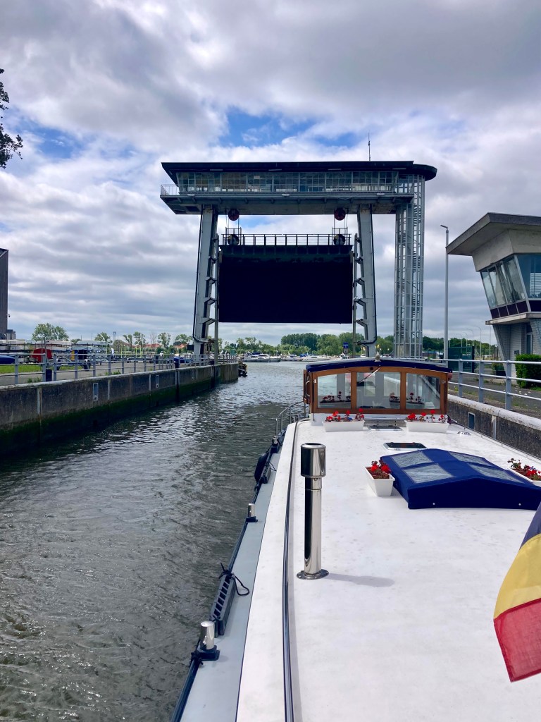
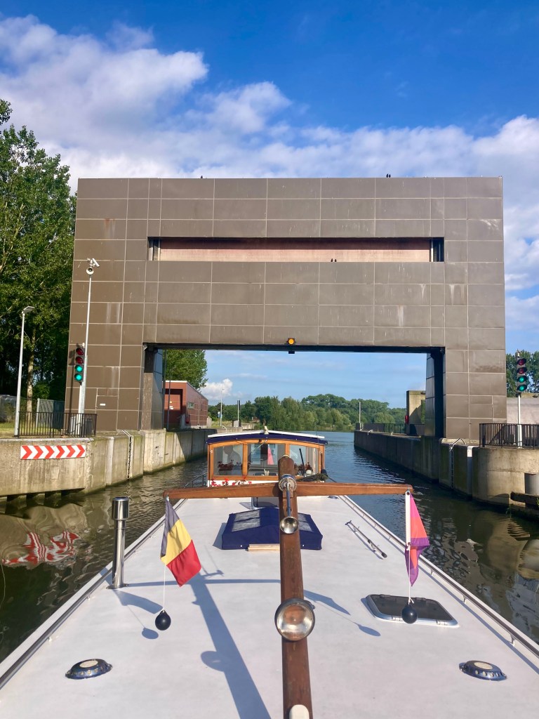
Soon we were at the lock between Plassendale-Nieuwpoort canal and the Gent – Ostend canal. As mentioned before, it is small (in depth) and unusual.
It was extra small and unusual this time! As the bridge in front of the lock lifted we could see that the lock gates at both ends were open! There was no difference in depth between the two canals and we drove straight through.

We were soon tied up, the washing hung out, and the rest of the day off.
This is another slightly different mooring, and another one that we like.
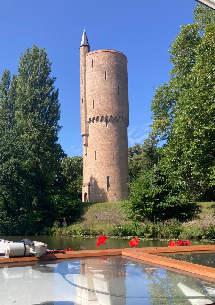
We love it for the views and for the quietness, once cyclists and walkers have gone for their evening rest. It is right next to a historic building. It was apparently a Spanish toll house from the days when they had a fort here. The Spanish occupied and ruled this area during the 17th century, having besieged and gained Ostend in 1601.
But its the views ….


A peaceful night was passed almost without incident. As it got close to bedtime and I went for a stroll I discovered a small yacht moored behind us, out of sight at the end of the quay.

I noticed a WOB (Women on Barges) flag and hailed the boat.
My new friend Isabelle appeared and we spent half an hour getting to know each other before retiring for the night.
Beernhem Gard Sluis
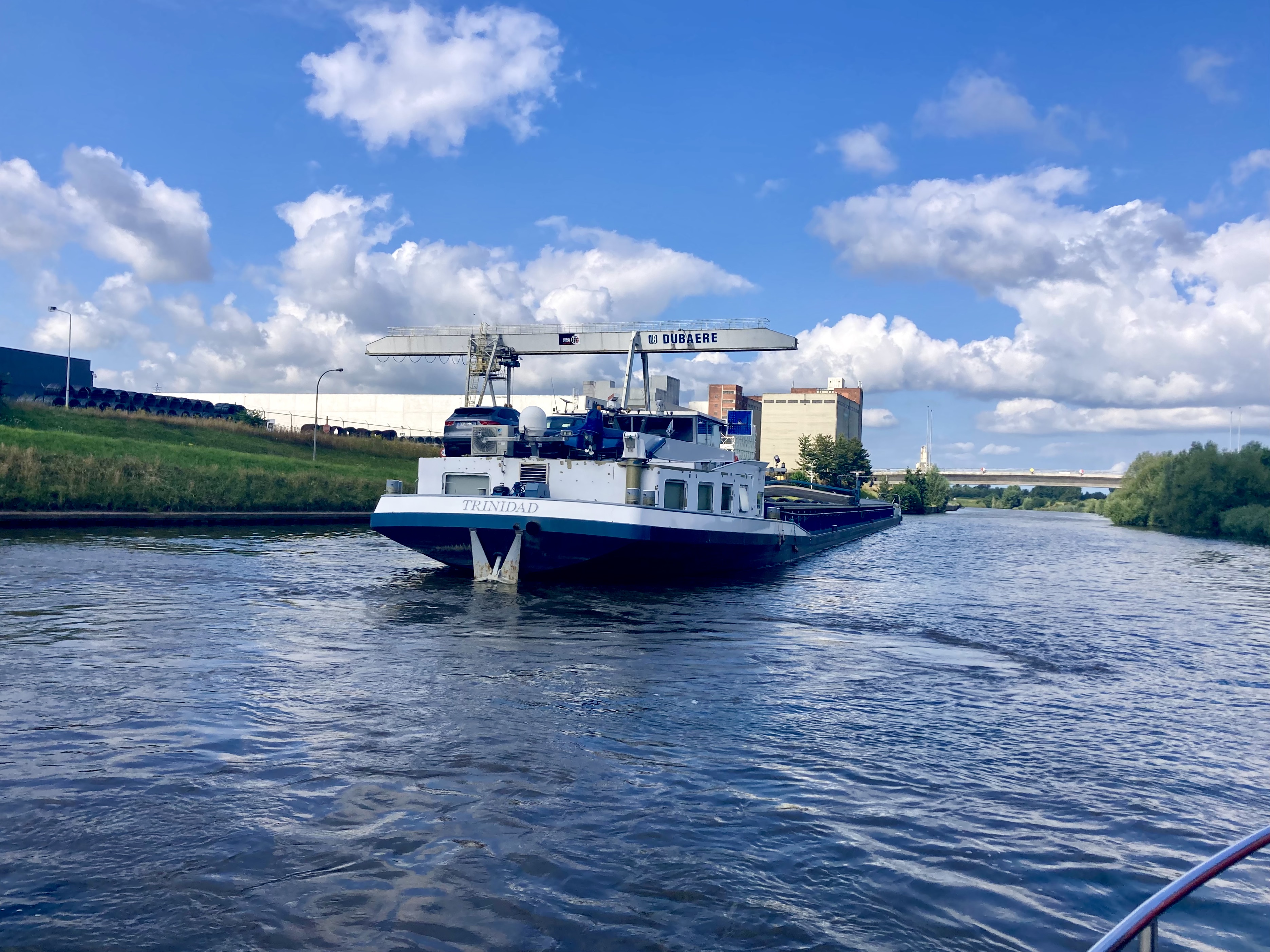
Both boats were off in their same direction next morning. We were headed for Bruges where Isabelle and partner would stop for a few days, and we would continue.

Although there set off first we soon caught them up.
They asked if we would lead the way, calling up the Brugge control centre who would lift the many bridges around the city for us. both.
It begins with a bridge a few kilometres north of Brugge and once contact has been made here the control centre watches your progress through a series of cameras, making each bridge ready as you approach.
We soon met a convoy of small boats heading north.
They had obviously travelled round Brugge together and were off to Nieuwpoort or Ostende.

One of the nice things about travelling in the company of another boat is that they often take photos of Calliope from angles that we can never get.

This time Isabelle took a photo of us going under my favourite modern bridge. It is at Brugge and fascinates me every time with its ‘rotation’. The road rotates skyward, becoming almost vertical; the road traffic stops and the water traffic passes beneath.
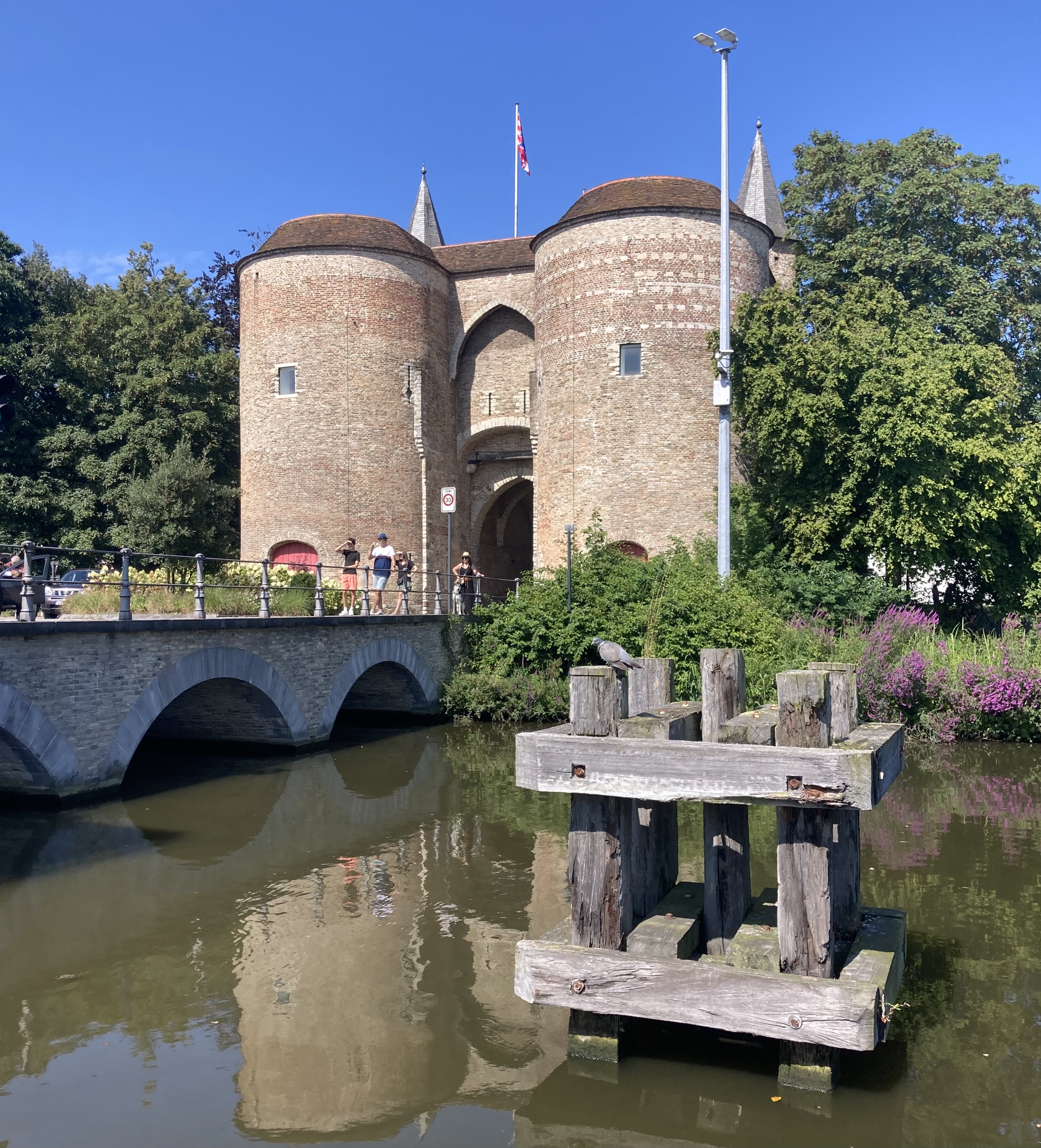
Brugge is a nice city to cruise round. There are several old buildings and city gates, gardens and windmills en route. Here are just two.
There is also one lock which, bizarrely to me, is operated by a different office to all the bridges. It’s also rather nice, because here an actual person, a lock-keeper, is in attendance and we get to have a nice chat as we go through.
At the Coupure marina in Brugge we waved good bye to our new friends and continued to the next bridge – Saint-Kathelijnepoortbrug, a swing bridge – which initially did not swing for us.
I got on the phone and soon ascertained that they were waiting for a commercial barge coming in the opposite direction to come through first; then it would be our turn while it was still open. This would save the road traffic being disturbed twice. So we found a bollard and some railings to tie up to and waited, trying to grab a quick lunch at the same time!.
The comercial bagre arrived, the bridge opened, the commercial passed through and we cast off to make our way. But the bridge started to close! Another quick call and we found out that there had been a change of staff and the new person dd not know we were there waiting!
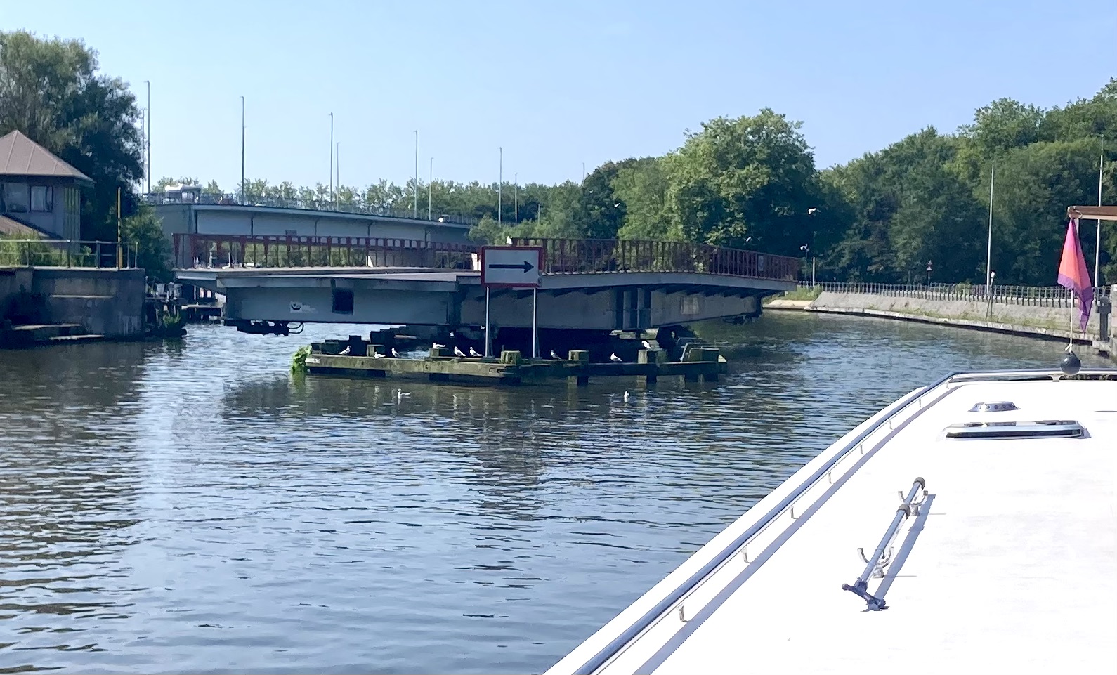
Ahh well, it just meant an extra 10 minute wait until they felt they could stop the traffic again! The photo is slightly confusing but shows the swing bridge turning to be parallel to the canal, and beyond it a big high modern bridge.
After that we were on our way, leaving Brugge in our wake and heading for a rural mooring we had spotted a few weeks earlier when going the other way. The sky was blue, the windscreen down, and both countryside and commercial traffic passing by.

Beernham Gard Sluis is a narrowing of the canal with a big gate than can be lowered in the case of flood on one side or the other. Next to it is a good long quay with plenty of bollards to moor up against.
Soon we were settled, had walked round to see our surroundings, and had a pleasant evening in the country whee Stewart made a new friend.


Deinze
Next morning arrived with another blue sky and scurrying clouds. It was our turn to go through the Gard Sluis.
From this angle it is easier to appreciate its design and structure.
The ‘Gard’ is partly visible through the slit; it drops down into the canal when necessary.
Now we were on the last stretch to Deinze and the meet up with daughter next day. We were getting excited! It is a fairly straight and wide canal, built for the many working barges that ply up and down between Gent and Ostend.

Part way down we turned right onto the Schipdonk kanaal. This would take us through to Deinze.
It is another straight and wide waterway, with no locks along the 14 kilometres we moved along, and with every bridge high enough to let us and the biggest of working barges through.

At the end there is a widening as it meets the Leie river at Deinze. We got caught out here!
A series of chunky navigation markers are set out along the centre of the channel. Our Maps and apps did not mention them and even with binoculars it was impossible to see any words or colours that would indicate to us which side we should pass.
The normal rule is to keep to starboard, so we did …. and ran aground! Not a total disaster, but but did mean that for 20 minutes or so we were looking for ways to free Calliope from the sand beneath her.
Luckily a lock further upstream let out its water, causing the levels to rise just enough for the bow to float free and for us to carry on.

We turned into the old Leie, called up to pass under the new foot bridge and the old toll bridge – and there we were, at Deinze quay. Apart from a small day boat and a cabin cruiser that arrived later we were the only boat there; plenty of space, plenty of choice.
And plenty of time to have the boat cleaned up and re-stocked ready for the next day when the Family Fun would begin – the title of the next blog post!
